Understanding Advisory Base Flood Elevations (ABFEs) for Homeowners
Date and time
Location
Online
Description
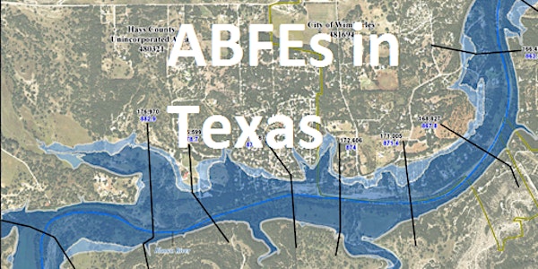
To help property owners in the Guadalupe River Basin make informed rebuilding decisions after recent devastating flooding, the Federal Emergency Management Agency (FEMA) has released Advisory Base Flood Elevations (ABFEs) for portions of Hays, Guadalupe, and Caldwell counties in Central Texas. These advisory maps indicate how high floodwater may rise during a major flood based on the most current data and latest technology.
To produce ABFEs, FEMA used updated flood risk data and analysis previously developed by the Guadalupe-Blanco River Authority in partnership with local communities, the State of Texas, the U.S. Army Corps of Engineers, and the U.S. Geological Survey.
The information FEMA and the State is sharing is advisory in nature and will not increase current flood insurance premiums or change Federal flood insurance purchase requirements at this time. However, property owners should consider this information now as it will used to develop updated flood insurance rate maps in the near future.
ABFEs are available for portions of Hays, Caldwell, and Guadalupe Counties in Texas including:
- Blanco River and Cypress Creek near Wimberley
-
Blanco River near San Marcos
-
San Marcos River near Martindale along the Caldwell and Guadalupe County lines
Join us on an online session to learn more about the ABFE maps, where to find the maps online, and how homeowners can use this information to rebuild safer and stronger.